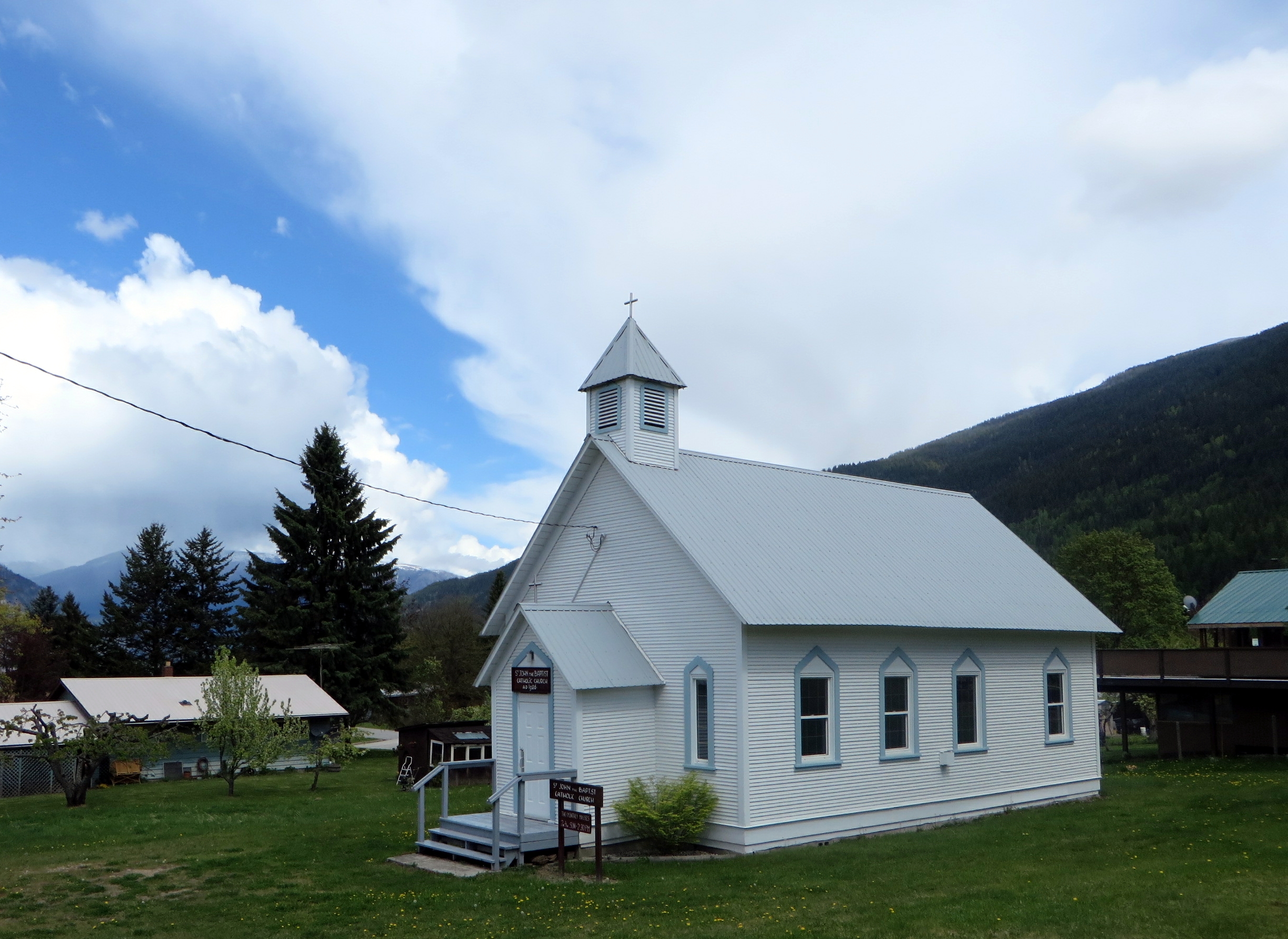
Adventure into the Backcountry
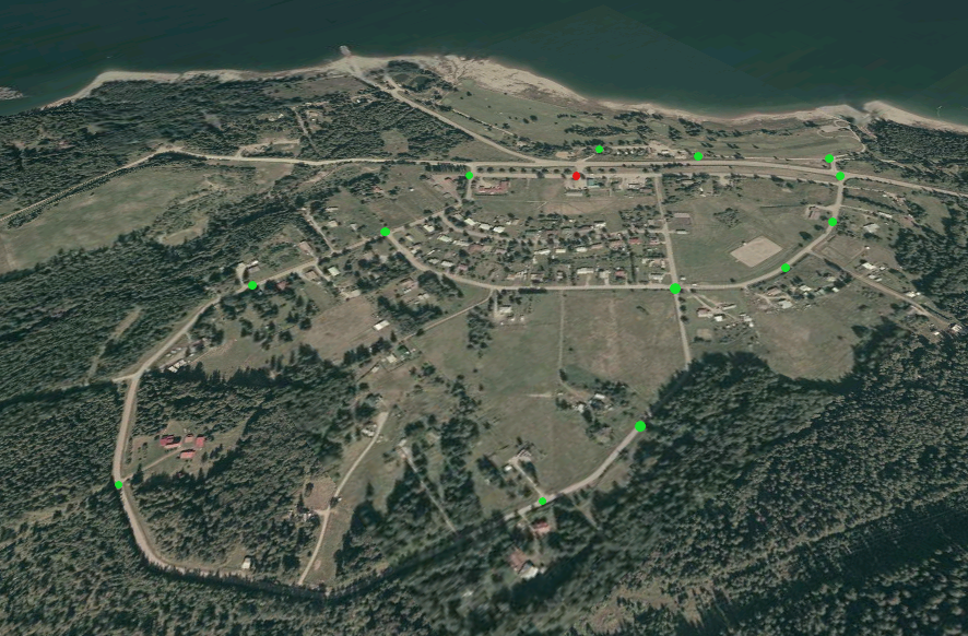
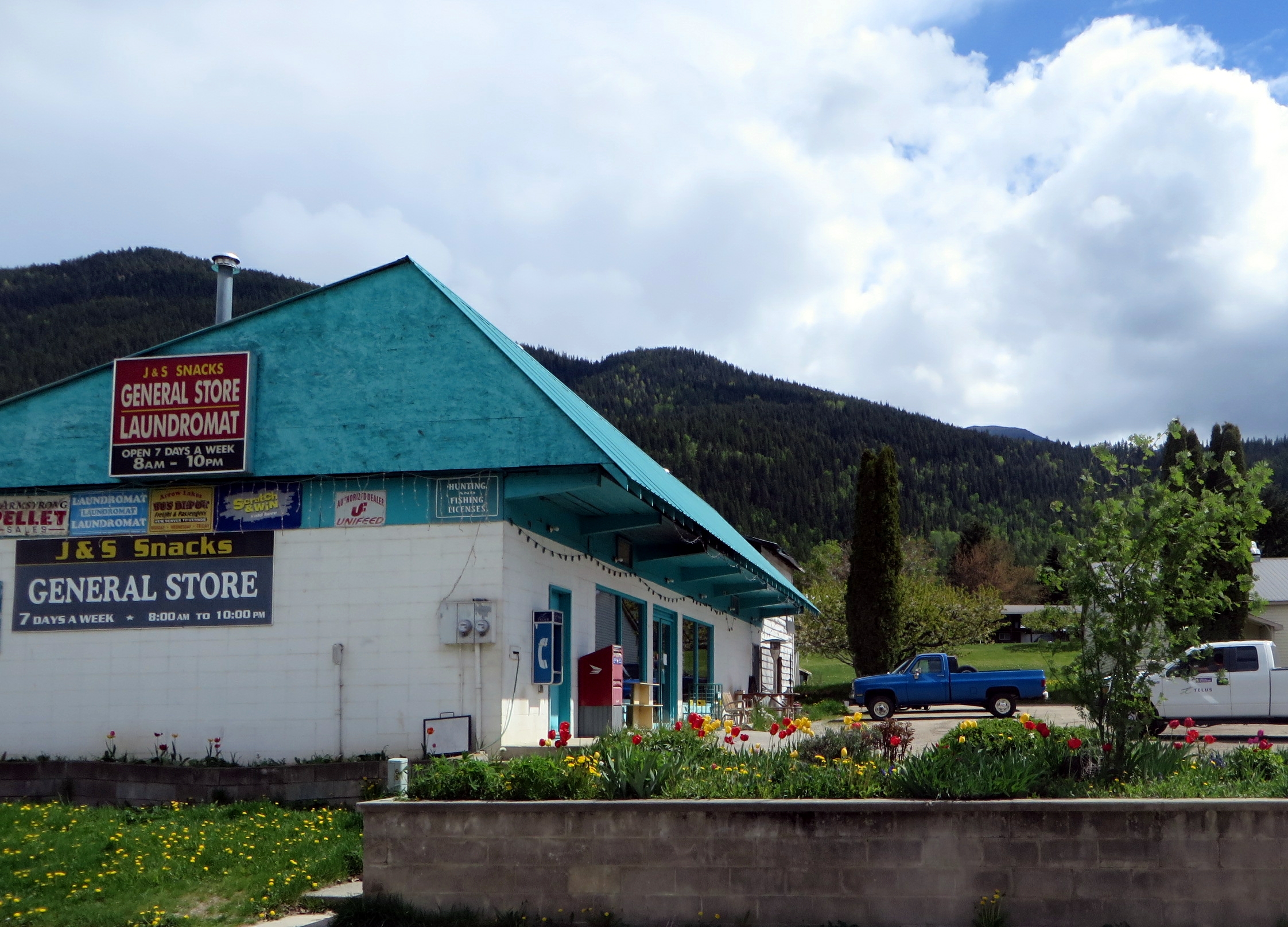
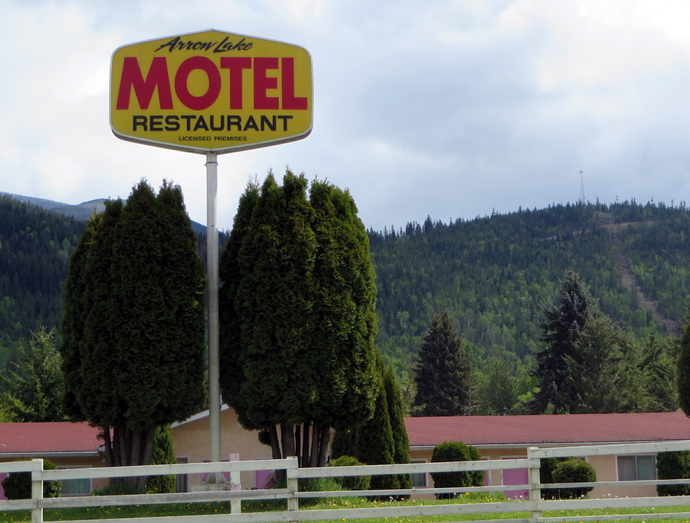
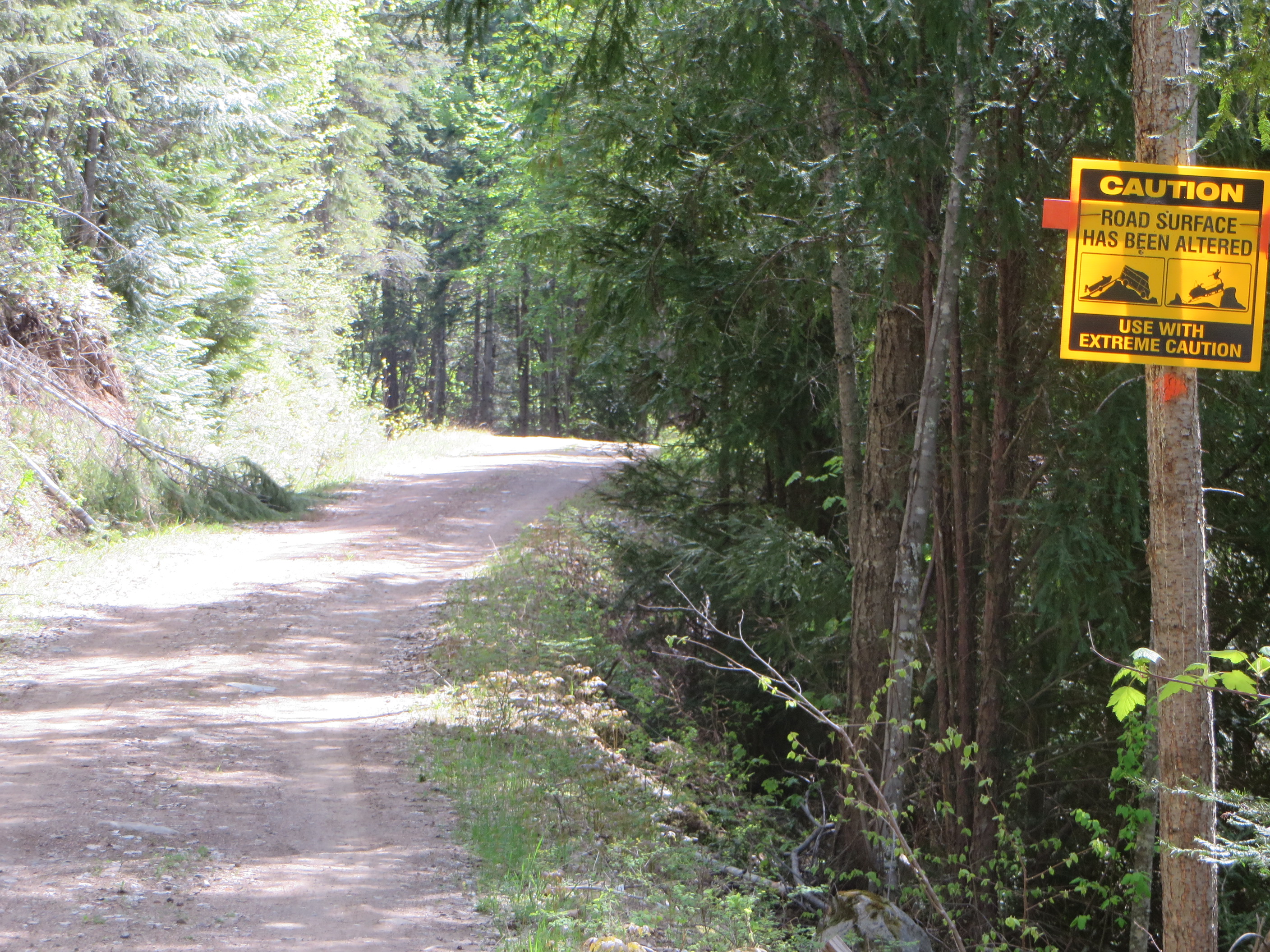
The ‘Pin Creek Trail’ is actually a logging road. But logging trucks rarely use it at the present time. It is is quite a pleasant way to explore the back country of Applegrove south of Fauquier. To get there, you start at the Arrow Motel in Fauquier and travel 7.6 km south on the Applegrove Road. I recommend you park your vehicle at the fork and start your hike from there. There is a sign warning you about road safety and it advises to use extreme caution. Any car with a low clearance will have trouble crossing the water bars.
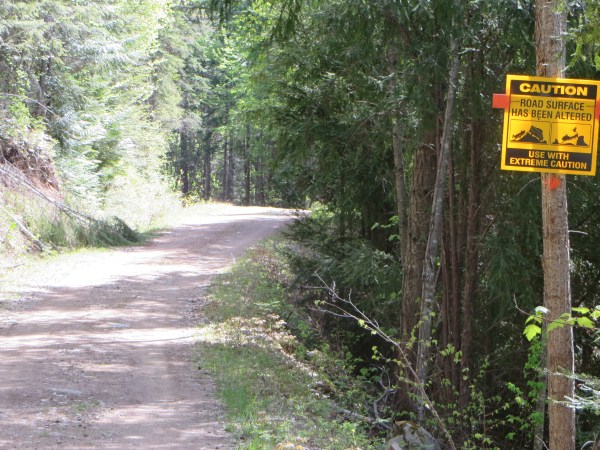
Start of Pin Creek Road with Warning Sign
The hike will take quite a bit longer than going on the Taite Creek loop as described in Part I. The destination is a 70-year-old cabin that used to house the loggers of long ago (see earlier post on Like-minded People of Applegrove Road). During my teaching years at the Fauquier Elementary School I would take my intermediate students up there for a history lesson in logging and mining in our area. To keep them occupied with a meaningful task on their way up, I asked them to collect leaves, cones and bark pieces for later identification of larch, western hemlock, cedar, pine, fir, spruce and birch trees. The distance is about 2.5 km one way and is quite steep in some places. The closer you get to the cabin, the more the road will level off. Then Pin Creek, a tributary of Taite Creek, will soon announce its presence through its waters tumbling down in the ravine to the right.
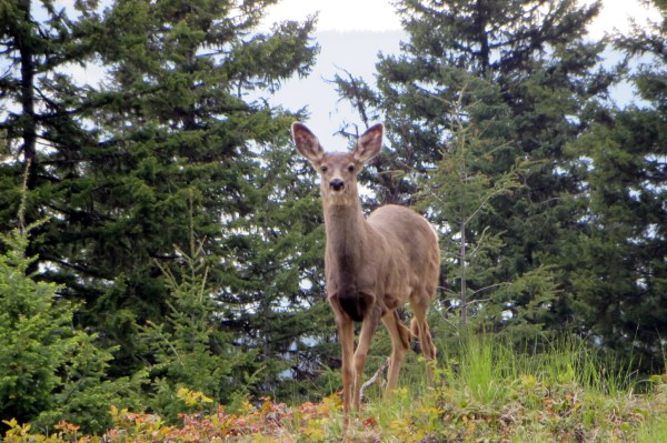
Deer Posing for a Portrait
At approximately 2 km up the mountain side, a smaller road branches off to the right and leads you directly to the creek. But don’t get sidetracked, continue on the main road and enjoy the break from the strenuous climb in the lush green of the dense forest all around you. Once you are at the cabin, it is time to have a snack and something to drink, before you do some exploring around the cabin.
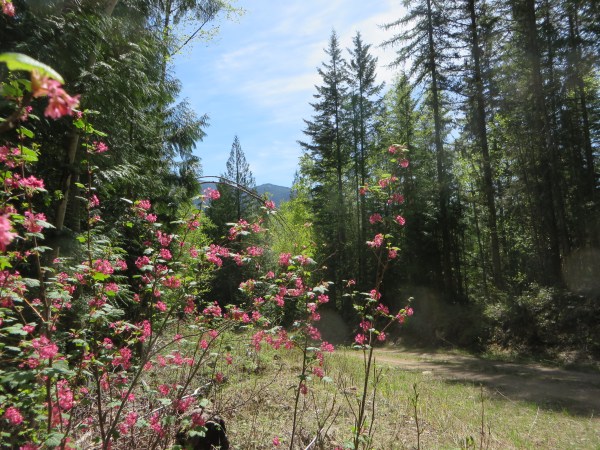
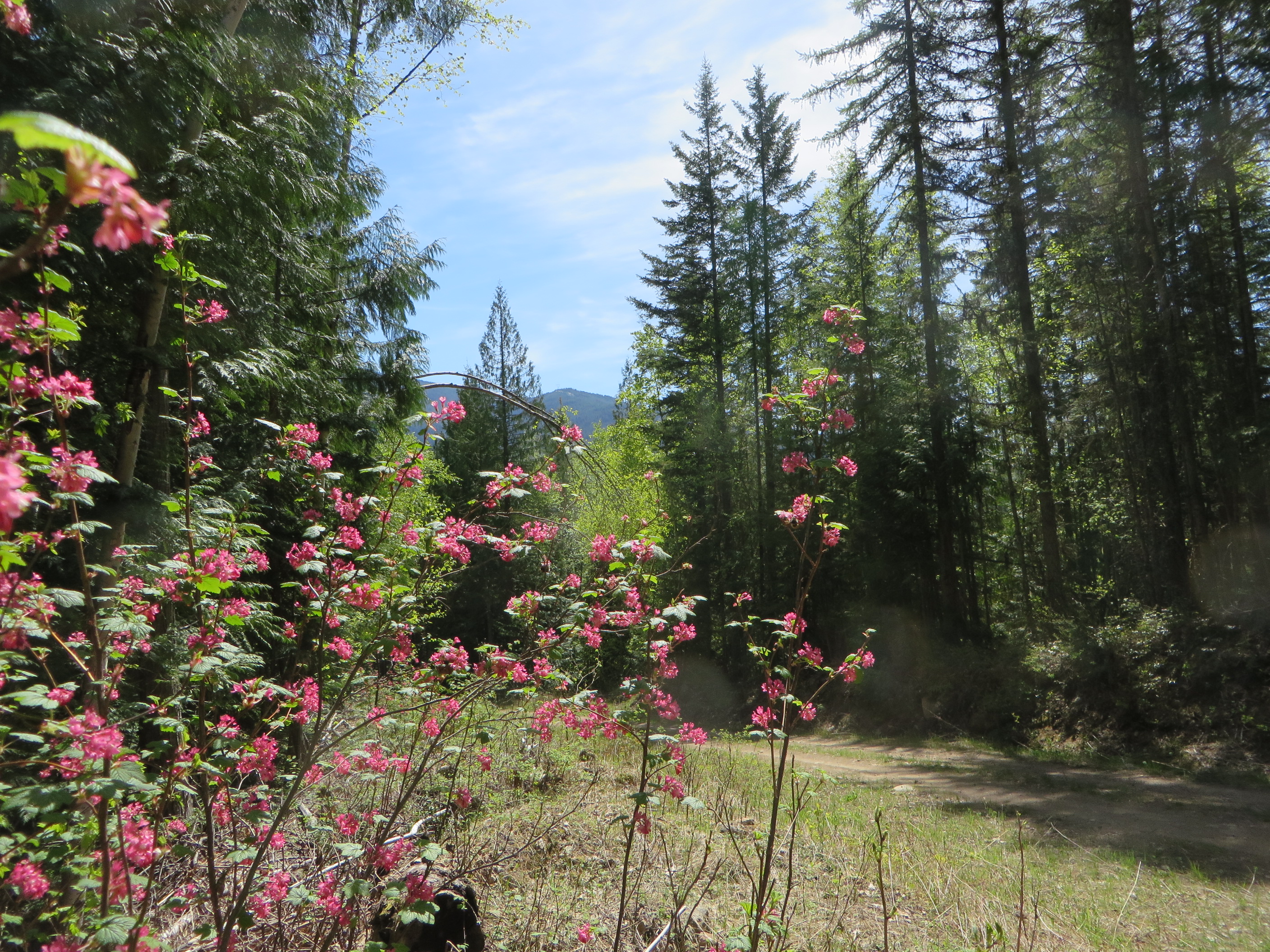
Beauty wherever you go on Pin Creek Road
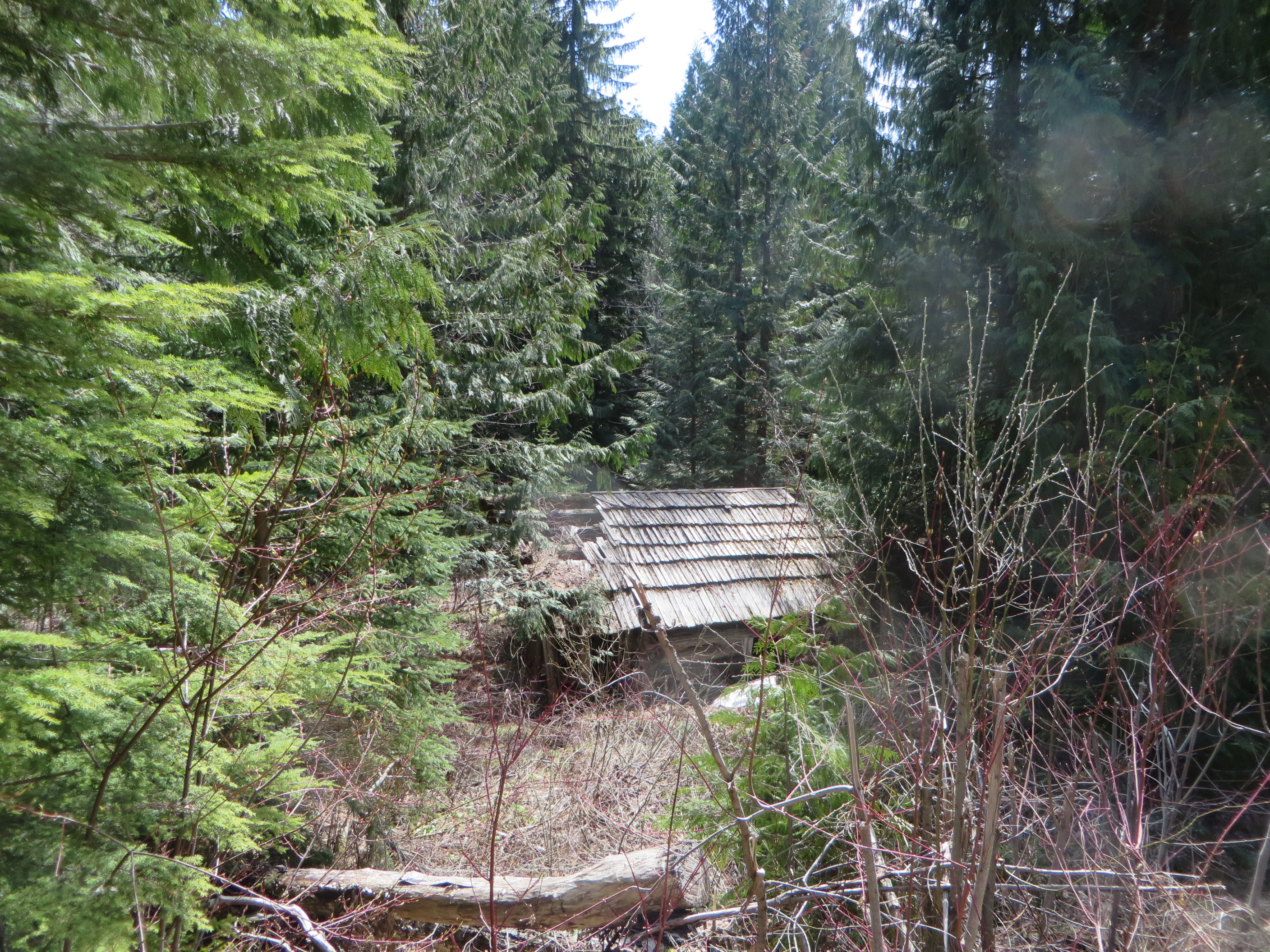
My students went inside to satisfy their curiosity. In its state of utter dilapidation, much of the roof has succumbed to decades of rot and decay. But the walls are still standing. If you are lucky to find any of the bits and pieces of newspaper wedged in between the walls for insulation, you might get to read the latest news from 1946.
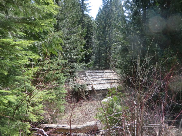
Cabin where Loggers once Slept away from Home
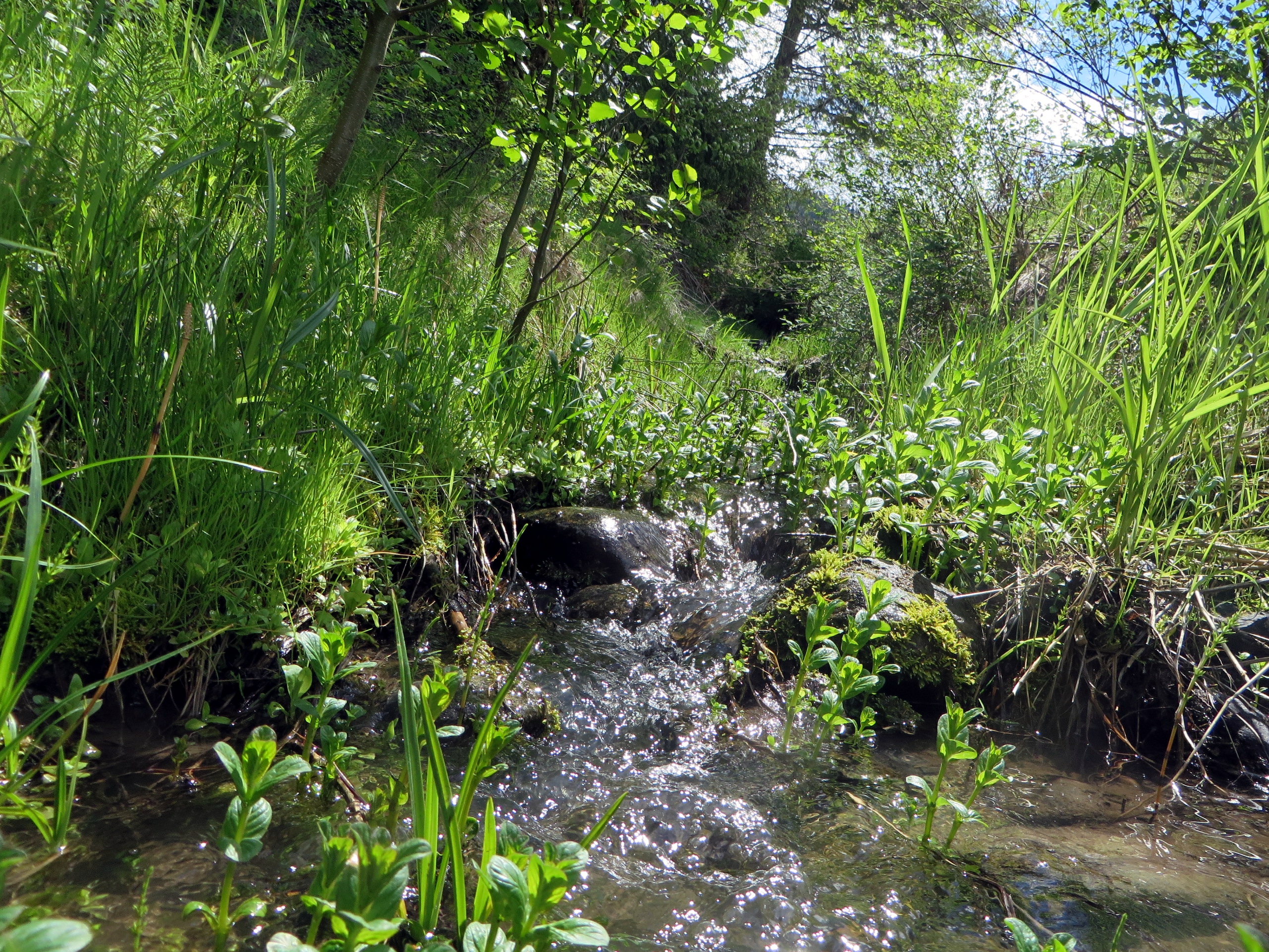
If you really want to enjoy your hike, plan on a minimum of altogether two hours of hiking to the cabin and back to your vehicle plus half an hour at the cabin. There are also a few places, where you can climb down to the creek and listen to the calming sound of rushing waters.
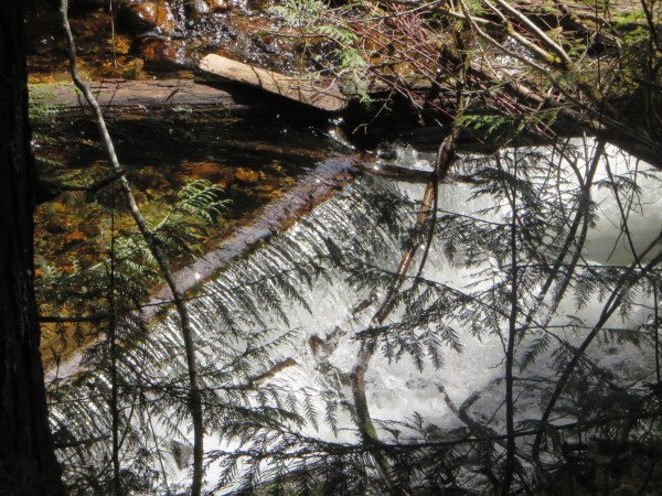
A Log across the Creek creating a tiny Water Fall
Some other time you may wish to add three expansions to the itinerary, for which you should plan at least half a day to fully enjoy it. Forestry people told me that the side road, which I mentioned earlier in this post, takes you over a bridge to a number of cut blocks at a much higher elevation. Once there you will enjoy fantastic views into the valley below and the mountains on the Edgewood side across the Arrow Lake. You could also continue on the Pin Creek road, which will take you to Heart Creek. It provides the drinking water for Fauquier below. There used to be a bridge. In the spring of 1985, the creek swollen by heavy rains and melt water completely destroyed the bridge.
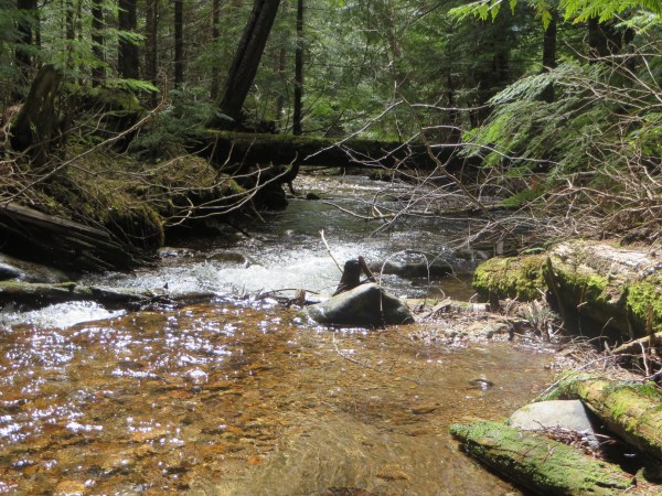
Serene Atmosphere at Pin Creek
But the most exciting experience requiring an adventurous spirit and quite a bit of courage on your part would be a visit to the nearby abandoned silver mine from about a hundred years ago. For this adventure you need to bring along a flashlight and a pair of gum boots. At the cabin across the road on the left you will find a partially overgrown trail that is quite steep. Make sure to stay on the trail until you come to a path to the left that leads you to the entrance of the mine shaft. You would be well advised to have someone come with you. How the early miners managed to dig a hole so deep into a mountain with only the simplest of tools is quite amazing.
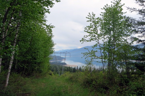
View from the Look-out onto the Arrow Lake
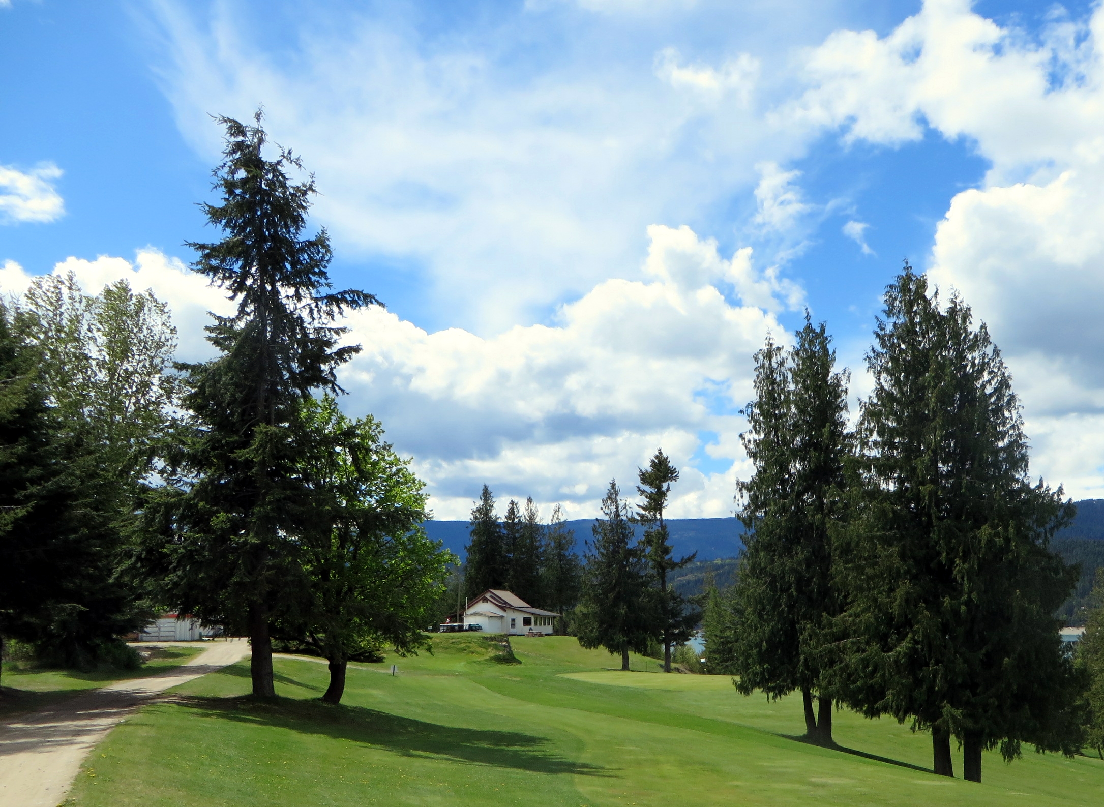
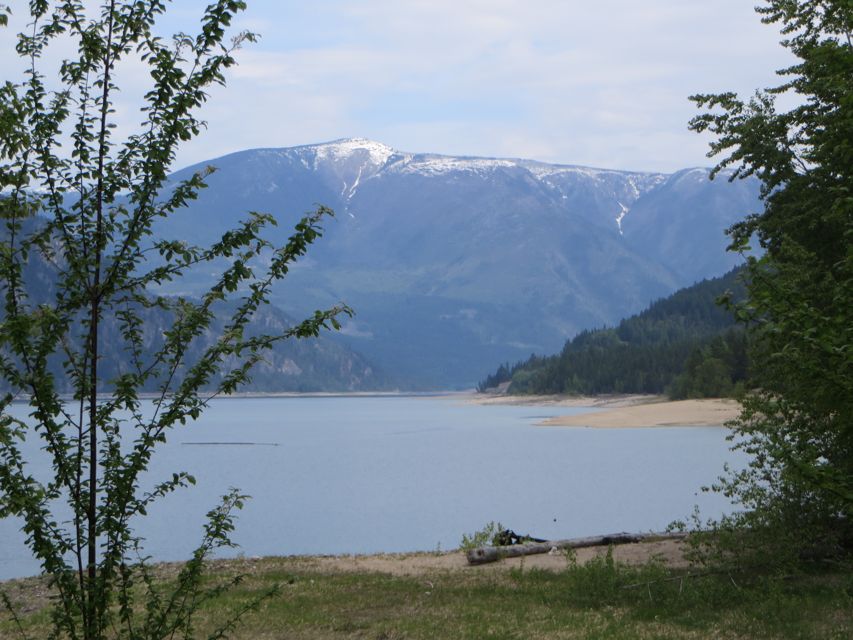
When you drive home, don’t forget to stop at one of the look-outs about half a km from where you parked your vehicle. There on the left you will get a fantastic view of the Arrow Lake. Ah, before I forget, take your camera with you to capture all these memorable moments.
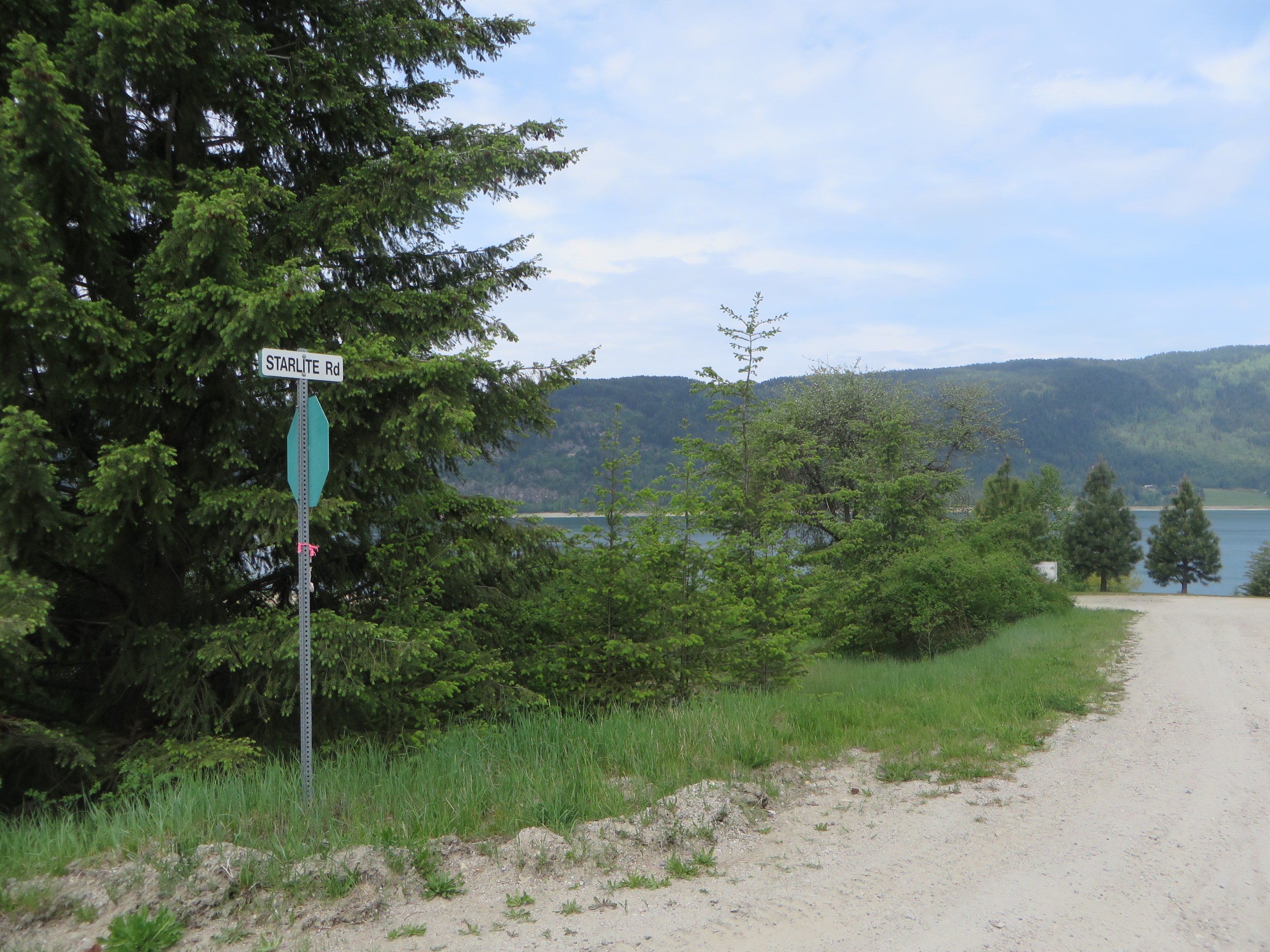
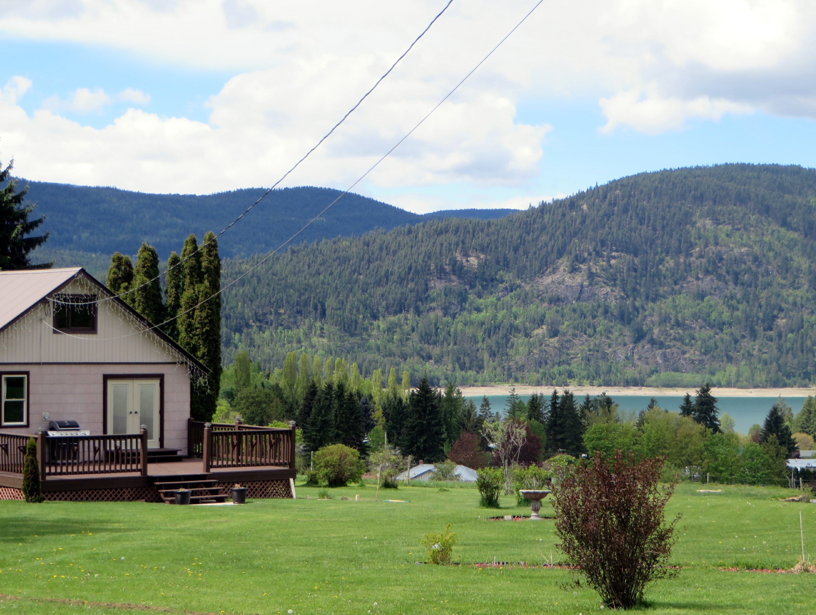
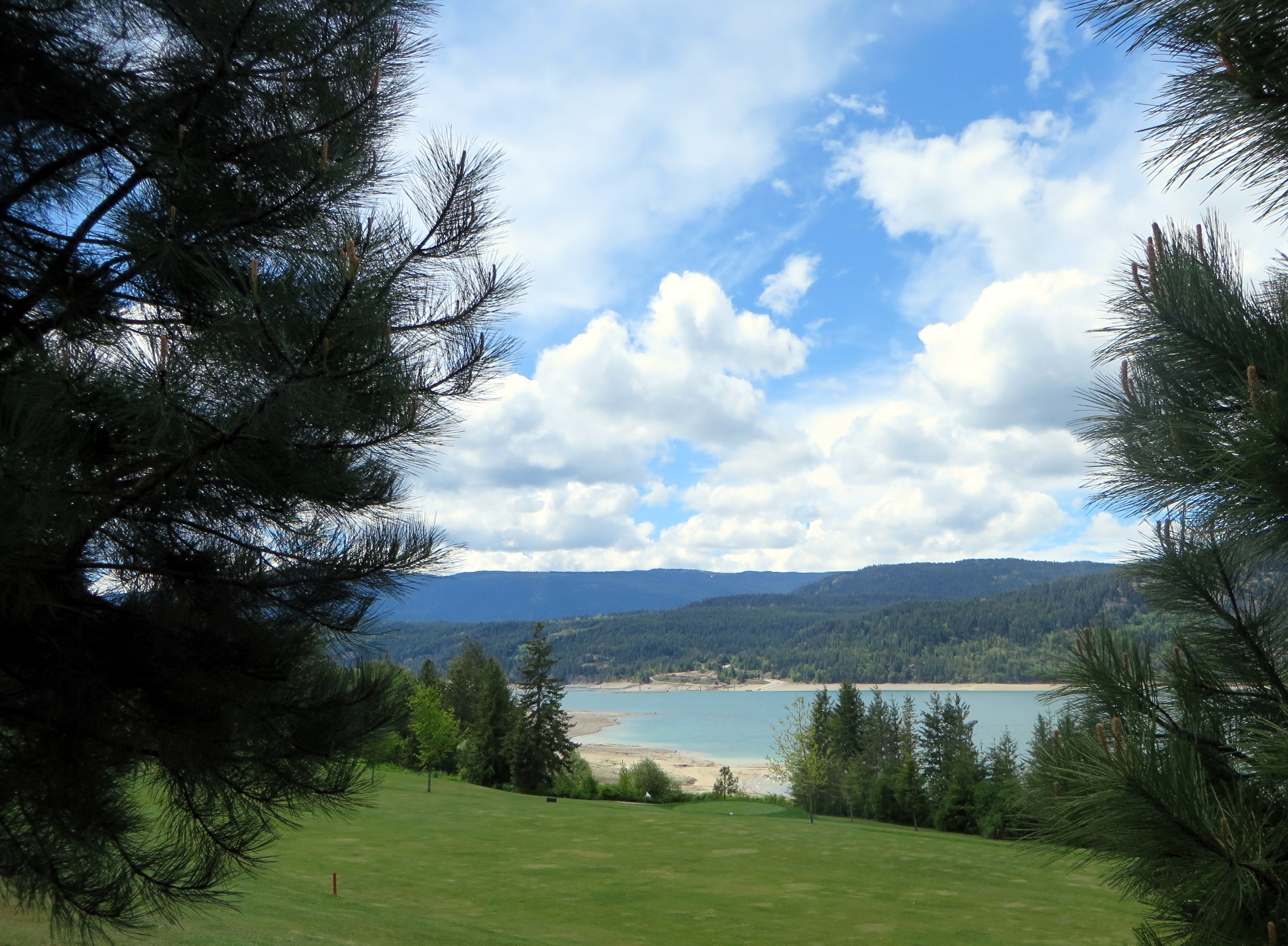
 Looking north to Ingersol Mountain you can see across the bay the sandy beach of Detta Beach.
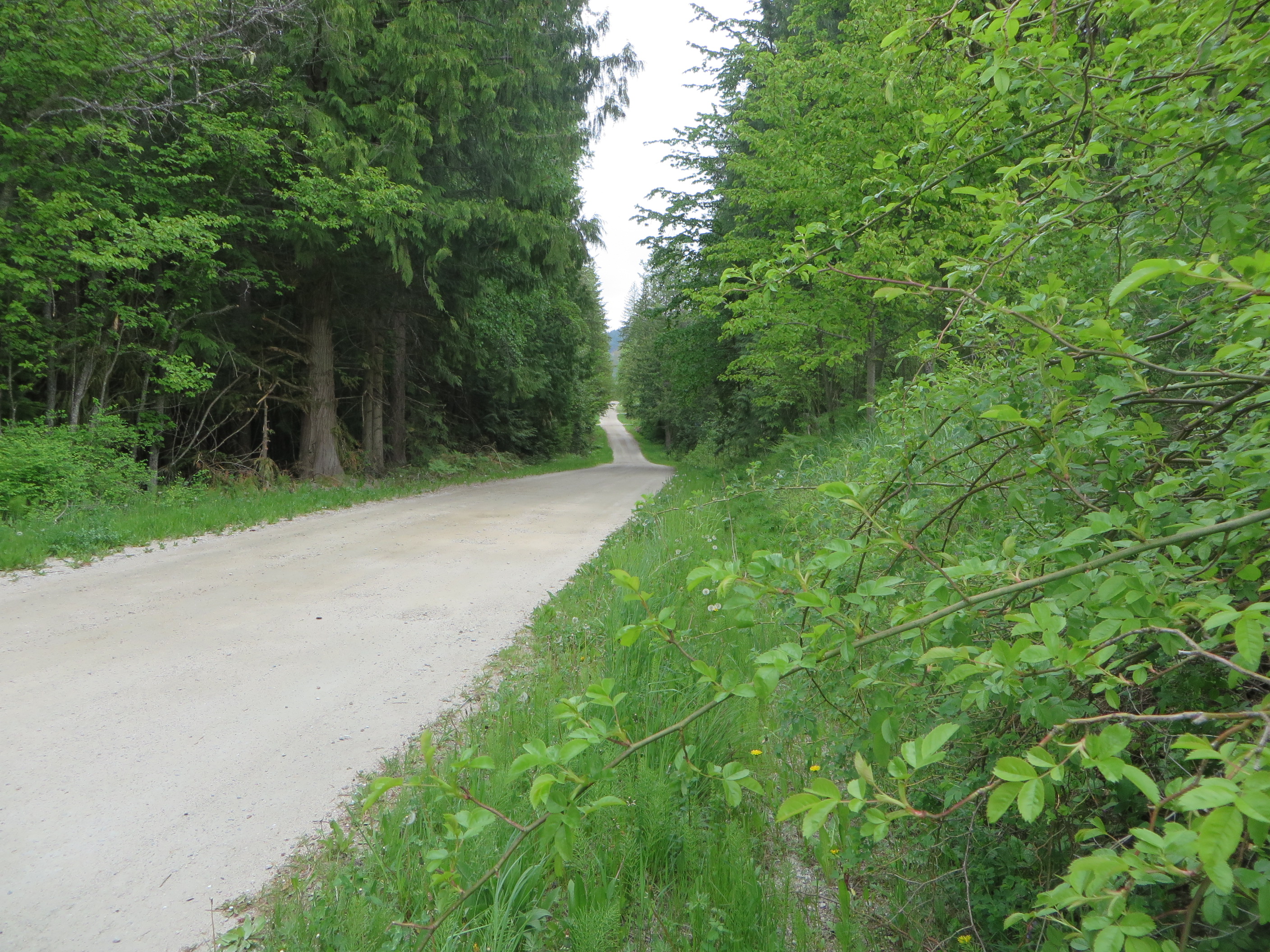 To reach Detta Beach you go back up the hill and proceed on Starlite Road,
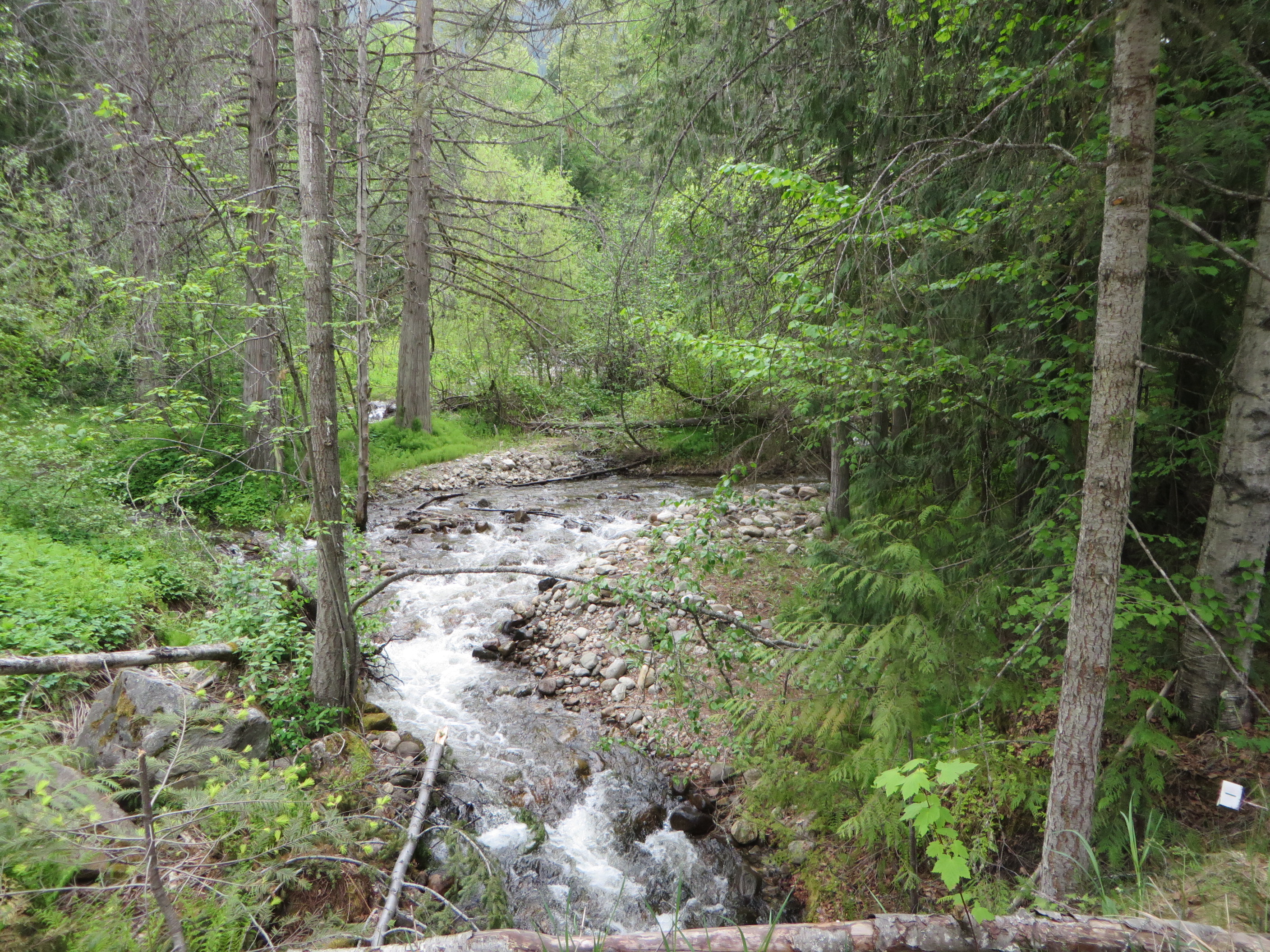 past the Fauquier Creek,
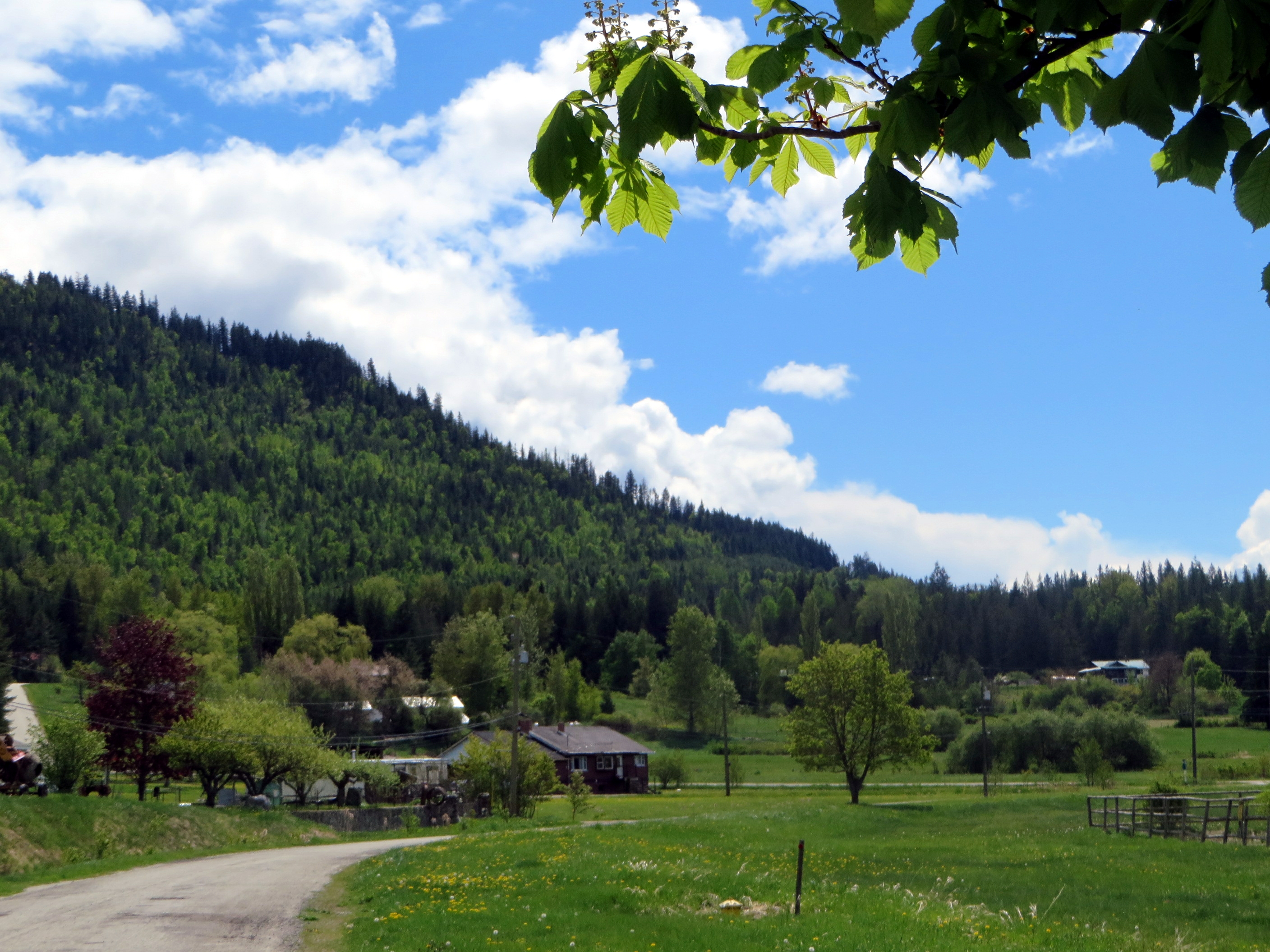
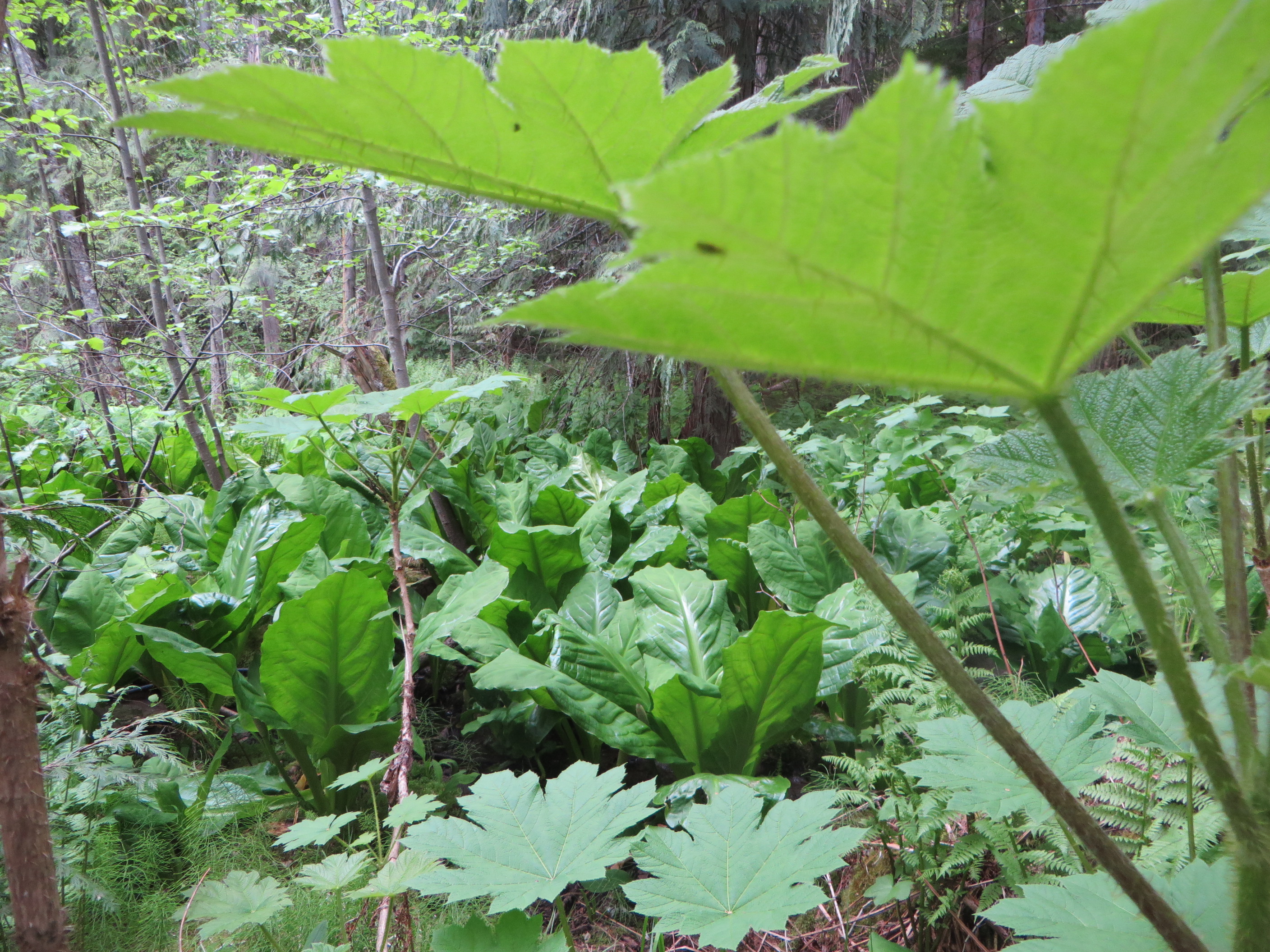 dense growth of skunk cabbage and giant leaves of the devil’s club,
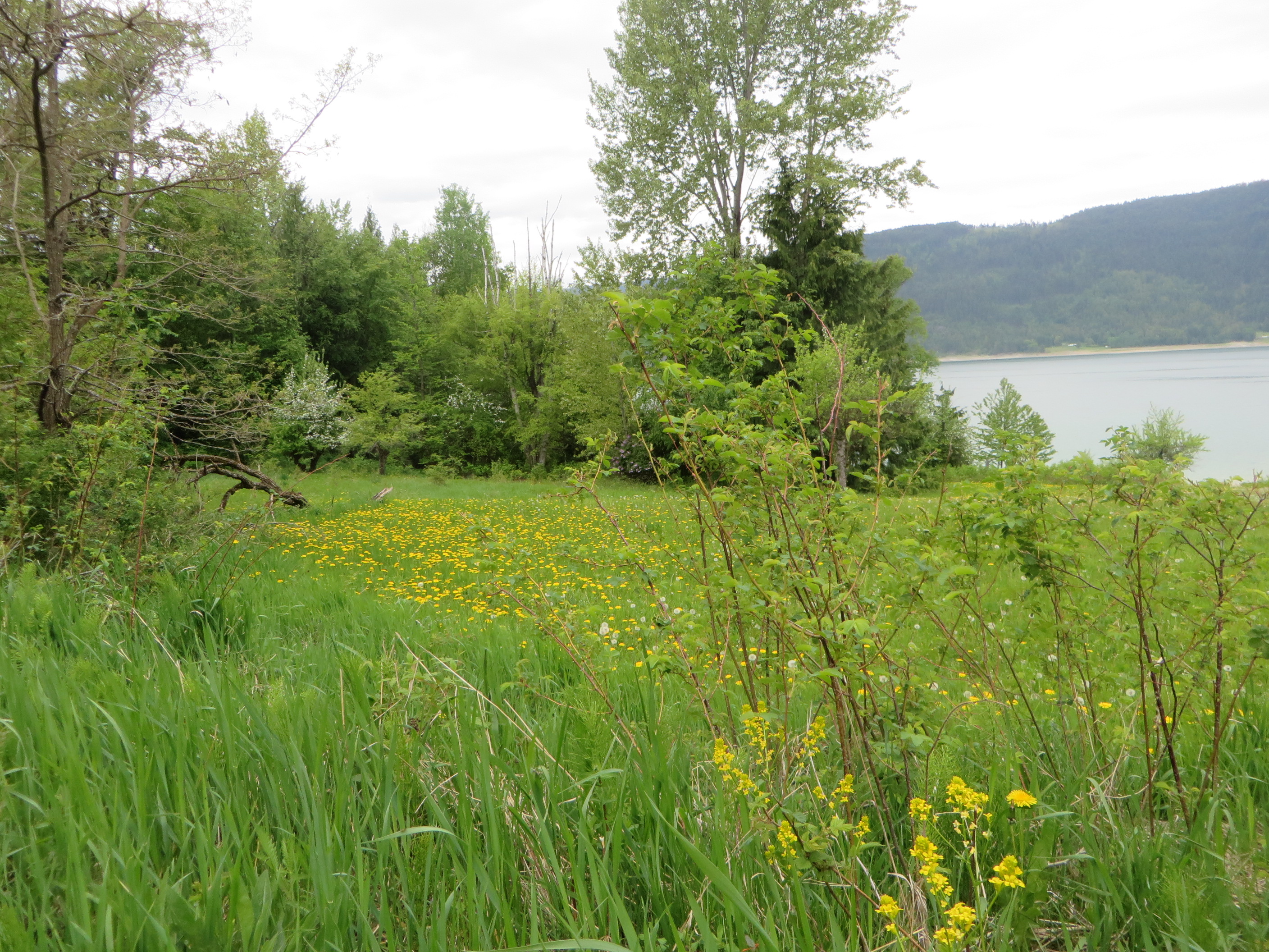 picturesque old orchards from the time before the flooding of the Arrow Lakes in 1967,
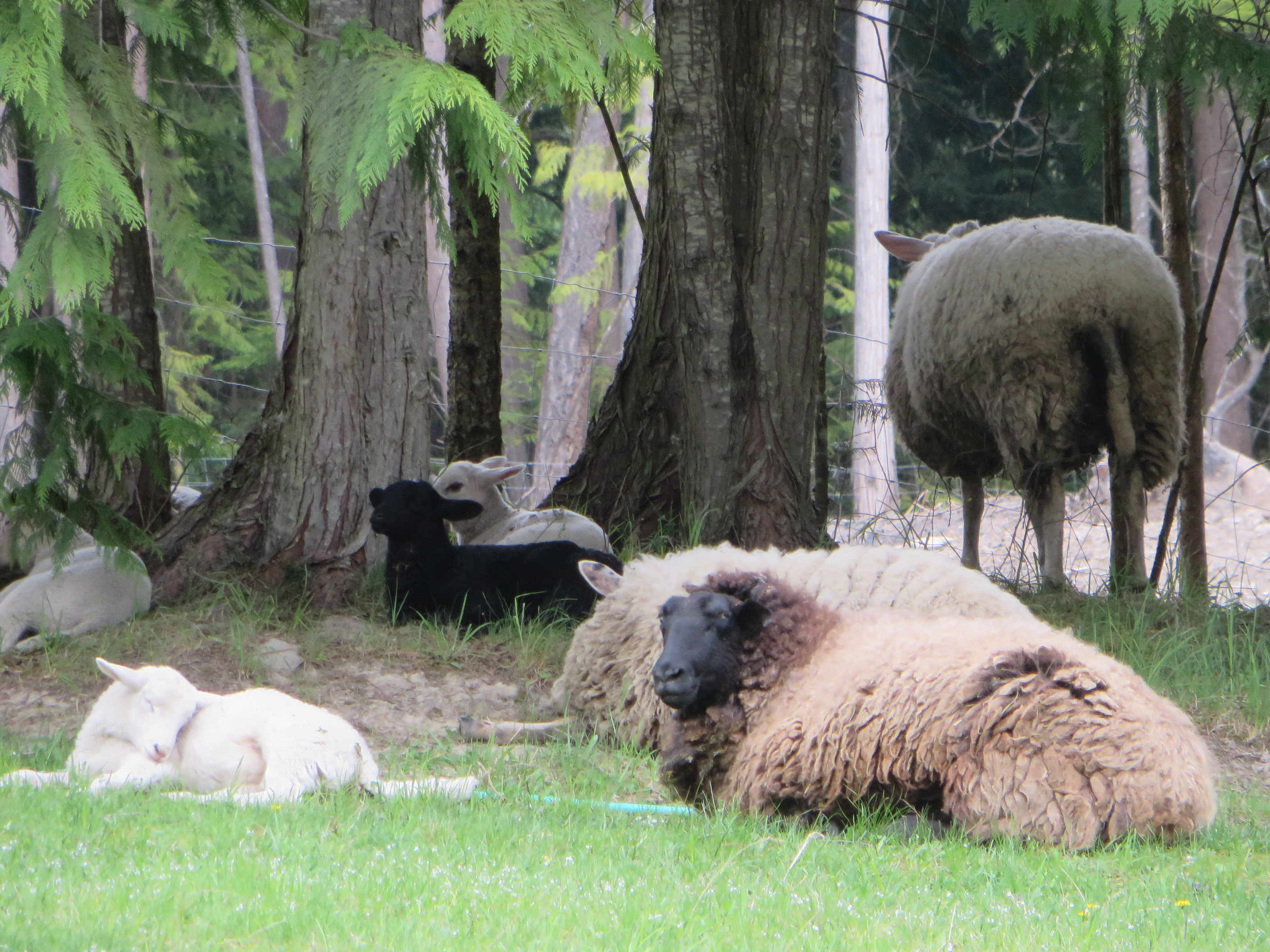 pastoral scenes complete with ewe and lambs resting in the grass,
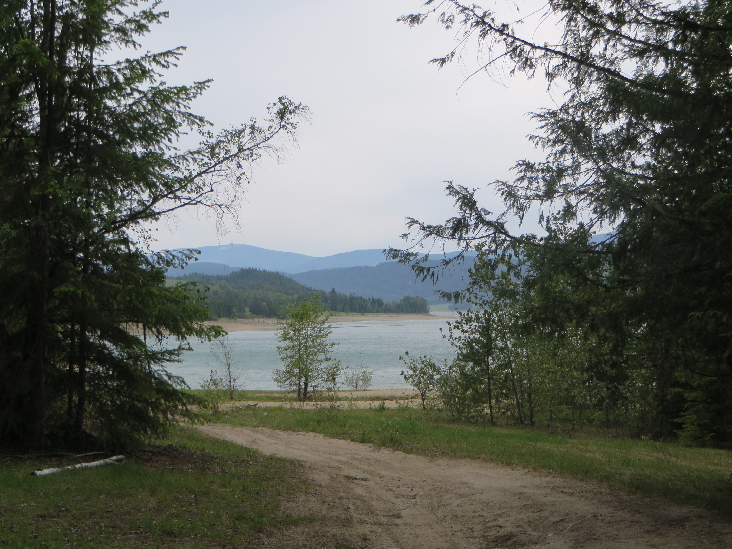 until you reach the junction at a private sawmill operation. There you turn left and walk down to the beach passing a house under construction to the left and another farther down to the right.
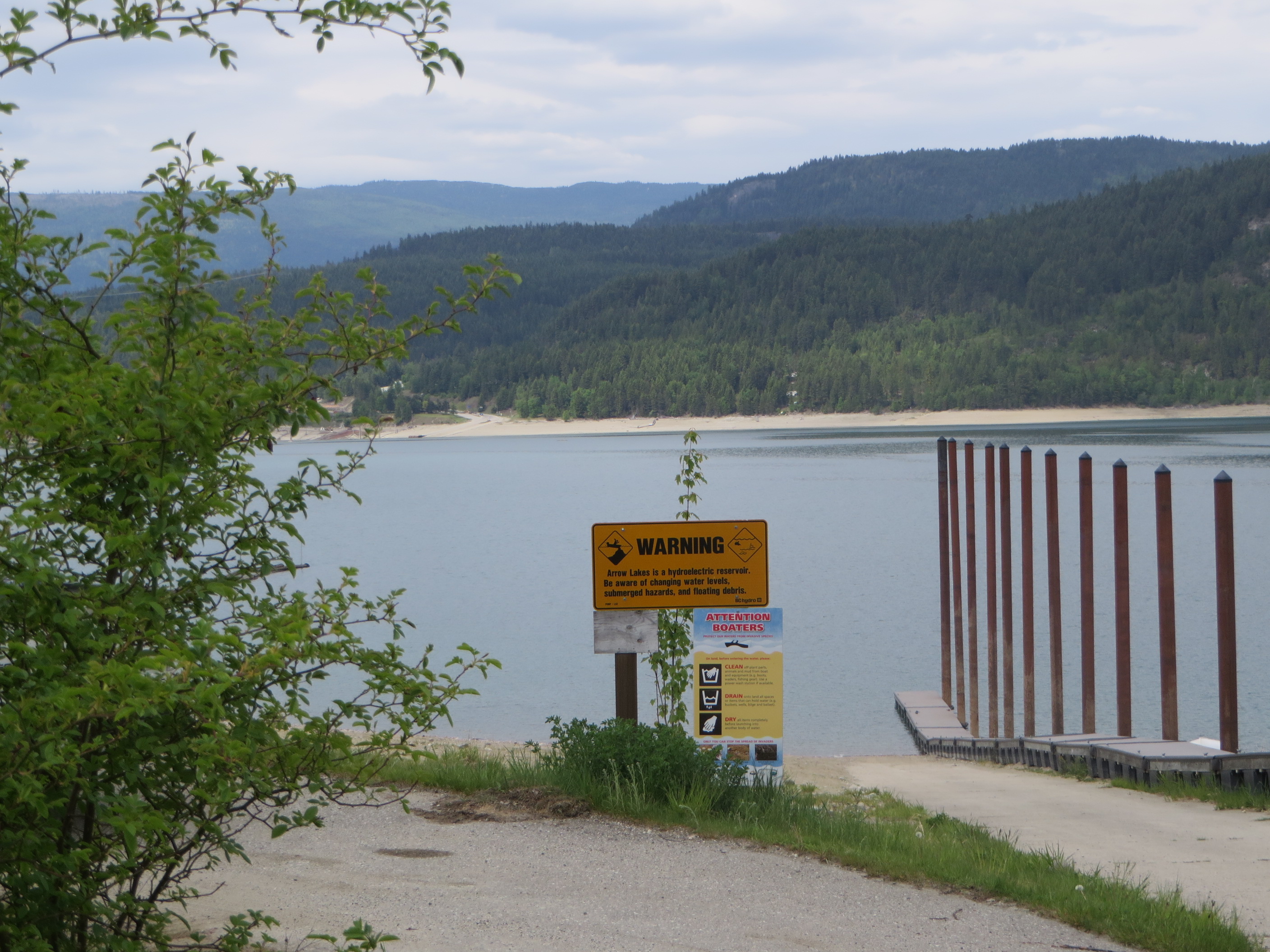
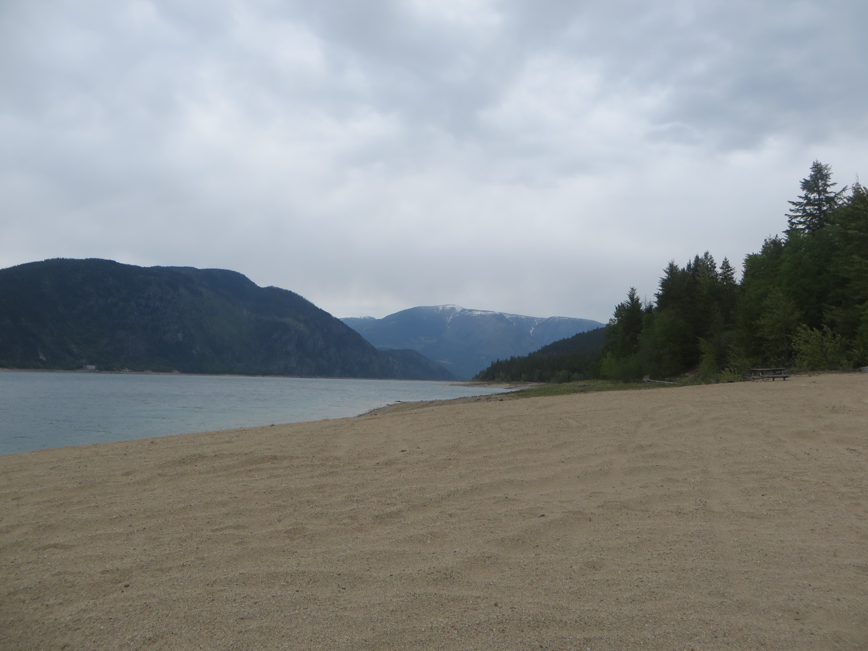 The beach looks deserted now. But in July and August it attracts sun-seeking people from all over the province and even as far away as Alberta. It is perhaps the only place along the shores of the Arrow Lakes, where you can enjoy a sandy beach at low and high water levels. There you can go swimming in the refreshing water, boating, sun bathing, playing games or just lazing away the hot summer days with your friends and family.